Back_to_Directory 
Automation Data AI Agents
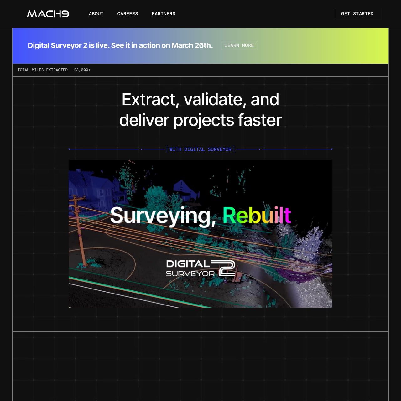
Mach9 Digital Surveyor
Extract, validate, and deliver projects faster with Mach9 Digital Surveyor. Automated feature extraction from mobile mapping LiDAR data for transportation, telecom, and surveying. Export design-grade CAD and GIS deliverables. Trusted by top agencies.
Key Features
Automated Feature Extraction
Extracts features from mobile mapping LiDAR data for various applications.
Data-Agnostic Ingest Pipeline
Supports major data formats from scanners by Riegl, Trimble, Leica, and NavVis.
AI-Powered Data Analysis
Utilizes machine learning models to analyze LiDAR data for accurate feature identification.
CAD Workflows
Provides tools for both automation-assisted extraction and manual drafting.
Design-Grade Deliverables
Exports features to AutoCAD, Microstation, or ESRI Feature Service for engineering-ready outputs.
Use Cases
Transportation
Telecom
Surveying